Professor Ivano Aiello collaborates with NOAA Fisheries on Butano Creek Restoration

For decades, sediment buildup in Butano Creek has caused a number of problems for fish and people alike. This sediment has blocked migrating steelhead and coho salmon, contributed to major fish die-offs, and flooded roads and local communities in San Mateo county.

In response to these many issues, the National Marine Fisheries Service, also known as NOAA Fisheries, assembled an expert panel to assess the situation and determine a path forward. SJSU/MLML Professor and Department Chair Ivano Aiello served on this panel and provided his expertise in sedimentology and geological oceanography to the group. Together, NOAA and partners developed the Butano Creek restoration plan which recently culminated in the removal of 70,000 cubic yards of sediment - enough to fill more than 20 Olympic-sized swimming pools! Looking to the future, NOAA now anticipates less flooding, fewer fish kills, and maybe even the return of the endangered coho salmon to the newly restored Butano Creek.

Learn more about the restoration project in the NOAA feature article.
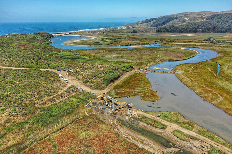
Photo credit: San Mateo Resource Conservation District

MLML Students Win National Geographic Competition

Blogging their way to an ROV

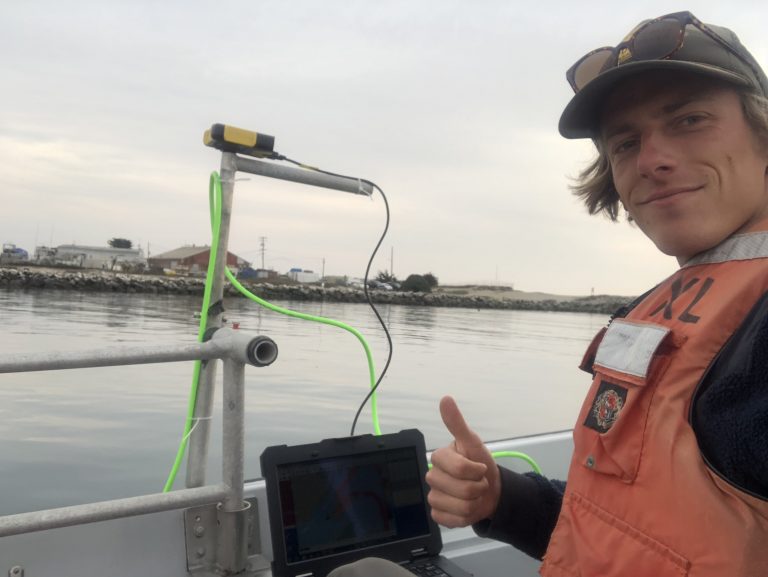
Moss Landing Marine Lab's very own Miya Pavlock-McAuliffe and Marcel Peliks entered a contest with National Geographic's Open Explorers S.E.E Initiative and they won a remotely operated vehicle from Open ROV. Over the past few months they've been blogging about their mission to discover the shallow areas of the Monterey Submarine Canyon via multibeam sonar and scientific instrumentation to learn about the geologic processes that shape the Monterey Bay and understand how the features themselves influence the vibrant Monterey Bay ecosystem. The blog takes you on the journey of two scientists going through trial and error to seek new information.

Several researchers at MLML will have the opportunity to use this ROV for their studies. These two Geological Oceanographers aim to study massive submarine landslides, or mass gravity flows, that periodically occur at the edges of the canyon and have been shown to move sand, mud, and rocks miles into the deep. We aren't sure why they happen as they aren't linked to earthquakes or storms. They plan to use the ROV to survey the head of the canyon frequently, in order to observe if the timing of mass gravity flows in the canyon are connected to the longshore sediment transport system: do build ups in sediment moved from the beach to offshore cause these flows?

Of course these students owe a huge thank you Ivano Aiello for support throughout this process and to QPS for donating the software to process their preliminary multibeam data, without which none of this would've been possible.

Thesis Defense by Tyler Barnes – June 21st, 2018

Assessing beach variability & shoreline change in Monterey Bay, CA

A Thesis Defense by Tyler Barnes

Geological Oceanography Lab

Thursday, June 21st, 2018 at 12pm

MLML Seminar Room

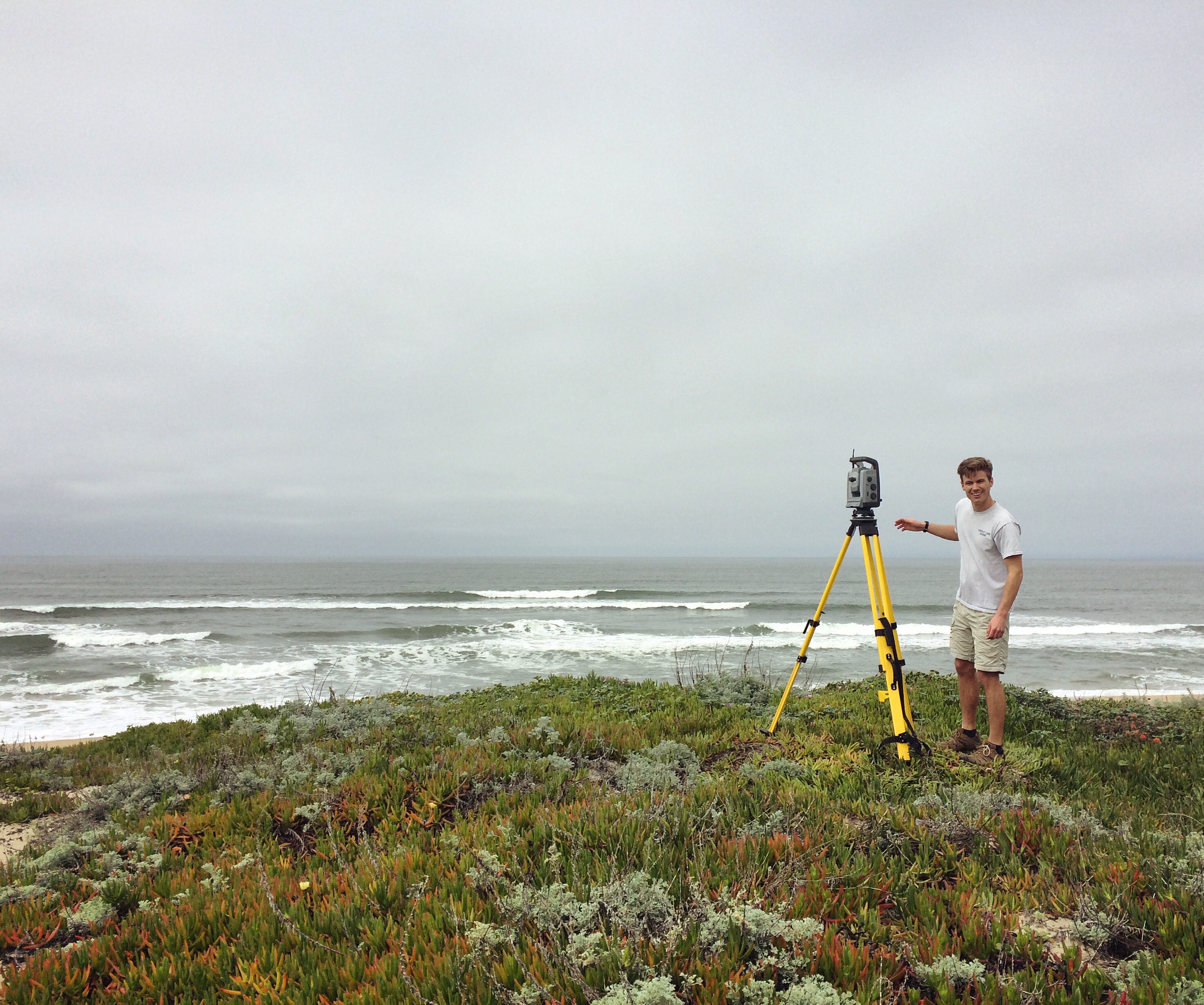
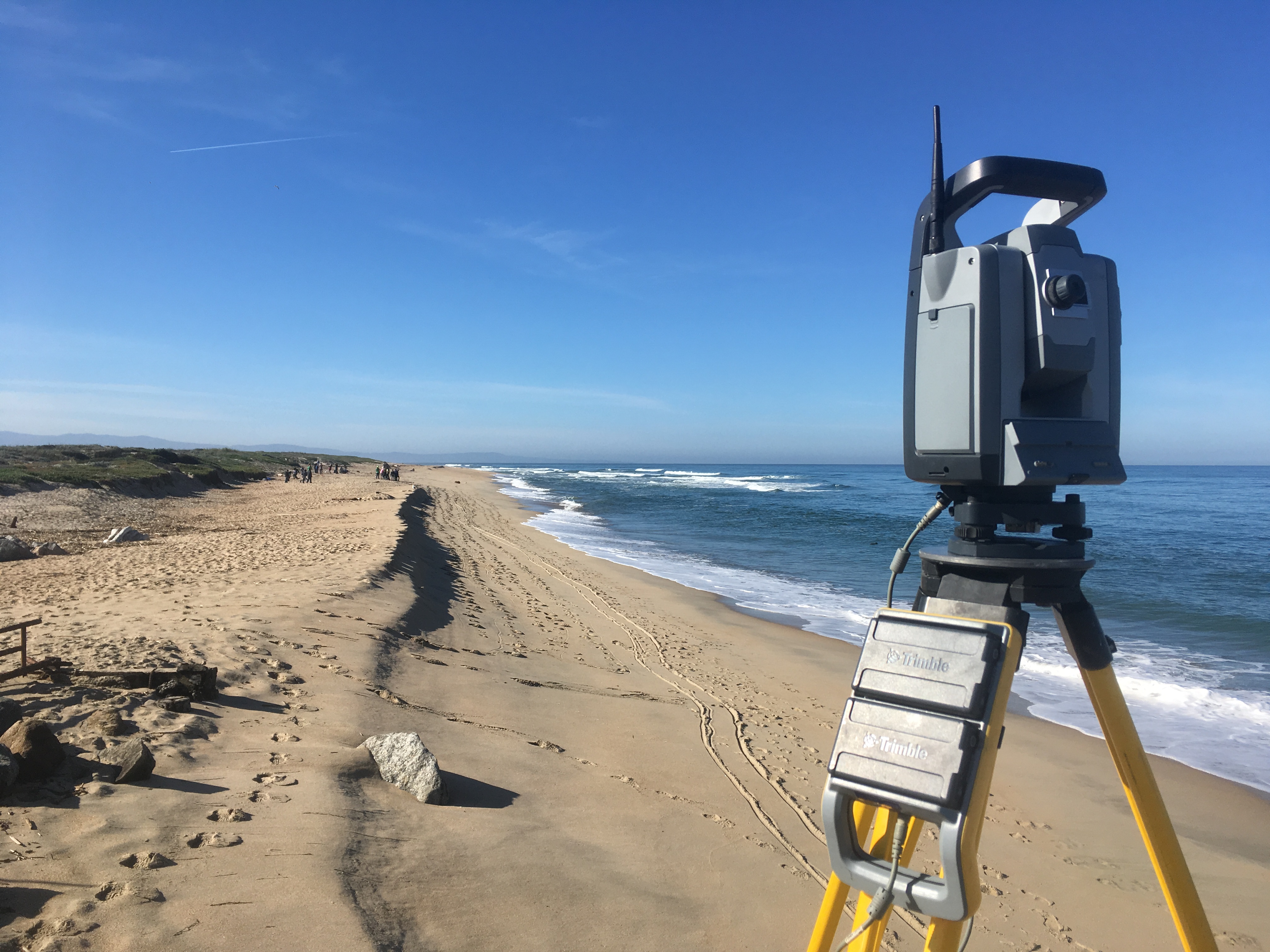
Tyler Barnes is a graduate student in the Geological Oceanography Lab at MLML. His curiosity in in coastal processes was sparked as an undergraduate at the University of San Diego where he joined a research lab investigating sedimentation in bays with coral reefs in St. John, USVI. Soon after, Tyler began his master’s degree in which his research assesses geomorphologic change on beaches in Monterey Bay using a terrestrial laser scanner (ground-based LiDAR that creates 3-D models of surveyed surfaces). Simultaneously, Tyler has worked as a researcher for Central Coast Wetlands Group where he has assisted on projects monitoring bar-built estuary hydrology/ecology throughout California and completed topographic surveys for restoration projects.

Watch Tyler Barnes’s Thesis Defense below:

MLML Welcomes International Scholar, Dr. Patricia Eichler!

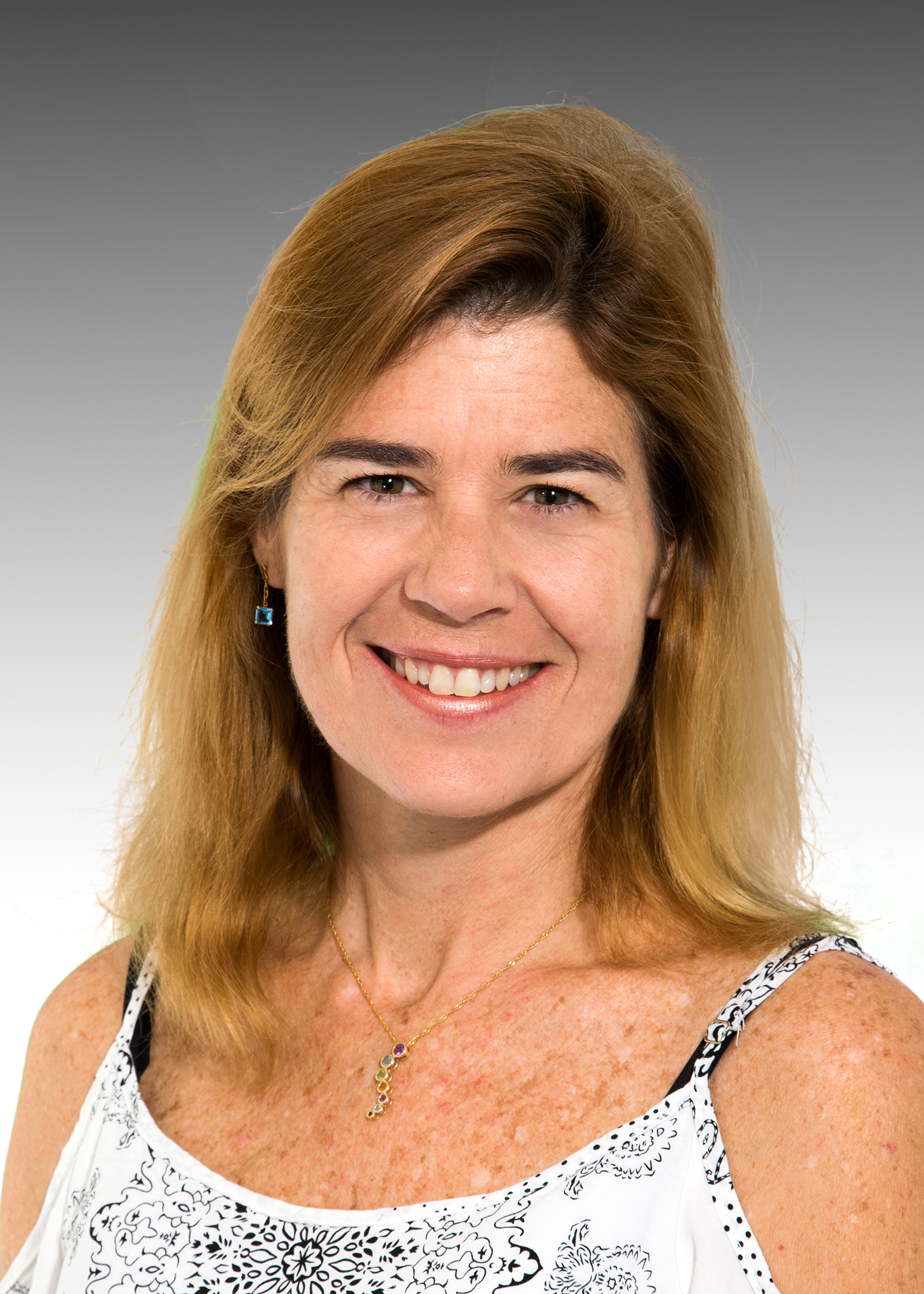
MLML welcomes Dr. Patricia Eichler who will be working out of Ivano Aiello's Lab as an International Scholar until March 2019.

Dr. Patricia Eichler is Biological Oceanographer interested on the assessment of coastal and marine environments through the use of marine benthic Foraminifera, physical and geo-chemical datasets. More recently, she has been focusing on the use of stable isotopes for micropaleontology studies and paleoenvironmental reconstruction. Her skills and expertise focus in the Environment, Water Quality, Ecology and Evolution, Ecosystem Ecology, Marine Ecology, Sedimentology, Biodiversity, and Conservation of Marine Environment and Marine Biodiversity. She is a Professor at the Environmental Sciences Post Graduation Program at Sul de Santa Catarina University (Unisul) and at the Geodynamic and Geophysics and Geophysics Post Graduation Program in the Federal do Rio Grande do Norte University.

Welcome to MLML, Dr. Eichler!

Thesis Defense by Dorota Szuta – October 25th, 2017

Community structure and zonation of Antarctic benthic invertebrates: using a remotely operated vehicle under ice to define biological patterns

A Thesis Defense by Dorota Szuta

Benthic Ecology & Geological Oceanography Labs

Wednesday, October 25th at 4pm

MLML Seminar Room

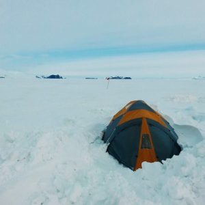
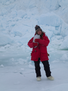
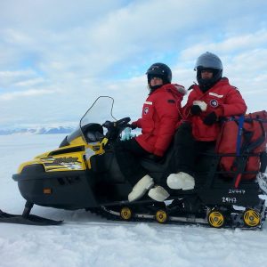
Dorota Szuta is a Master’s student under the guidance of Dr. Stacy Kim of the Benthic Ecology lab and Dr. Ivano Aiello of the Geological Oceanography lab. She earned her BS degree in Marine Biology at UC Santa Cruz in 2009. After her undergraduate work, she worked in the Benthic Ecology lab as a field diver and lab tech for two years. In her free time, she likes to play music, make art, and pet dogs. Her Master's thesis focuses on communities of benthic invertebrates under ice in Antarctica.

Thesis Abstract:

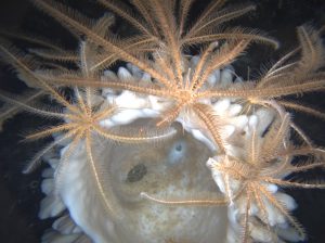
The Ross Sea, Antarctica is a deep bay of the Southern Ocean that exhibits seasonal sea ice and is adjacent to a permanent ice shelf overlying seawater. Though the shallow-water seafloor communities in the Ross Sea are known to be high in species richness and abundance, the deeper sublittoral zone (approximately 25 m – 200 m) has been generally understudied and, especially under the Ross Ice Shelf, the benthic community composition is largely unknown. In 2008 and 2009, imagery of the seafloor at two sites under the permanent Ross Ice Shelf and two sites under the seasonal ice in the Ross Sea was collected via remotely operated vehicle (ROV) at depths to 300 m. Several patterns in Antarctic benthic communities were seen over multiple environmental gradients. Species abundance typically exhibited a unimodal distribution with depth, reflecting a food limitation at the deep end and potentially ice disturbance on the shallow end. Diversity and depth had quadratic relationship at two of three sites encompassing a depth gradient. In terms of functional groups, the proportion of suspension feeders decreased with depth at one site, and no pattern was found at other sites. The group sessile predators, comprised of several species of anemones, increased with depth proportionally, suggesting that they use a range of feeding strategies to adapt to life at depth. Benthic communities under seasonal ice were different than those under permanent ice shelves, with higher overall species diversity, a greater proportion of suspension feeders, and a degree of magnitude higher abundance.