 By Kenji Soto, Benthic Ecology Lab
It’s 6pm on Thursday August 25th and somehow I find myself in a sharply dressed gathering of people on the second floor of Steuart Tower in the financial district of San Francisco, one block away from the Embarcadero. Making up the crowd are people from Autodesk, Google, 3D modelers, educators, artists, and scientists. There’s a bartender serving beer and wine, a snack table filled with a variety of mini meat and vegan kabobs paired with corresponding dipping sauces, an assortment of focaccia samplers, and toast with even more sauces. This is all too fancy for me, a humble jean wearing graduate student, and I feel a bit out of place even in my dressy-casual button up shirt that I luckily remembered to bring (I did however forget my jacket!).
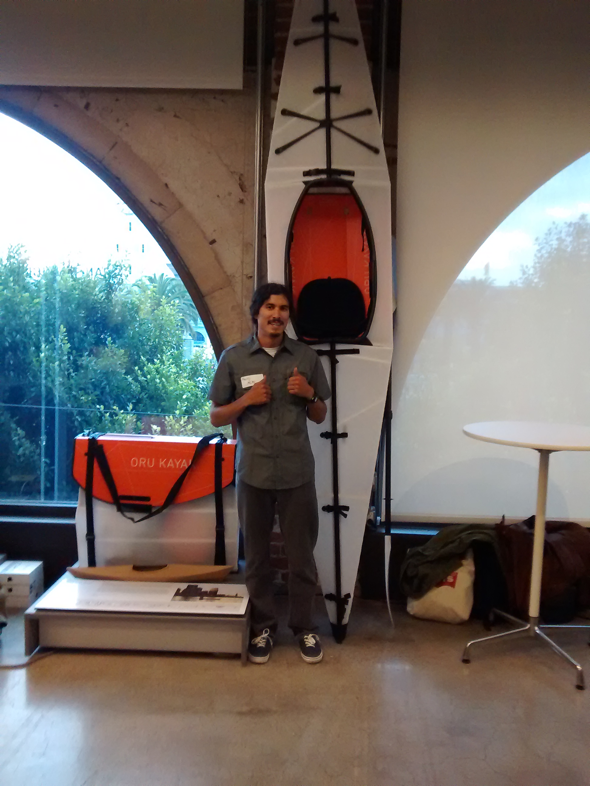
I am at this swanky event to attend The Hydrous’ first ever happy hour. It took place in the Autodesk Gallery, which is filled with the many beautiful and innovative creations that an Autodesk program was used to create: a soccer ball with a battery inside that is charged by playing with it, an ultra-light, but super protective race car frame, a kayak that folds into a carriable box (see picture), and intricate golden artwork the size of your hand to name a few. From week to week the gallery features different projects from companies like Nike, Lego, and Ferrari. But today it’s the Hydrous’ turn to show off its work.
What is The Hydrous, you might ask? It is a non-profit comprised of scientists, engineers, and artists who love the ocean and whose goal is to provide the public with a meaningful connection to the ocean which they hope will inspire people to explore, understand, and protect the ocean. “Providing a meaningful connection” is a phrase that really spoke to me and is one reason why I find the work at The Hydrous especially inspiring. In her opening statement, Erica Woolsey, the CEO of The Hydrous, stated how during her PhD and PostDoc she published a number of papers about coral reefs, but none of it seemed to make any difference in protecting the reefs that she loved. And for the most part all of the things that she learned stayed within academia because “the facts don’t speak for themselves.” Due to these shortcomings of “traditional” science, she, Nora Hall (COO), and Sly Lee (Co-Founder) started The Hydrous as a better approach towards ocean advocacy, protection, conservation, and education.
A core belief at The Hydrous is that if you want people to care about something, they have to be able to see it and even better if they can touch it. In order to achieve this they are using different 3D modeling techniques to bring the ocean to everyone. On display today, are physical models of corals created with a 3D printer, a virtual reality (VR) exploration simulator of three different ocean experiences, a drone and plane camera rig used to create 3D maps of islands, an education and outreach desk, and information on how you can get involved with The Hydrous’ tropical reef photogrammetry (more on this in a bit) trips aboard a luxury ship for the price of $5000 (maybe one day).
I first talked to Elle Stapleton, a fabrication artist, about the physical 3D coral models on display. She explained how the process of photogrammetry stitches together multiple pictures to create a single image, in the case of one the corals on display, 250 pictures were taken to create a digital 3D model which was then printed out with using a 3D printer. A particularly cool coral on display was one made out of calcium carbonate. I had seen plenty of models created with a 3D printer using different types of plastics, but I had no idea that CaCO3 could be used as a printing material. The Hydrous partnered with architect Professor Ronald Rael (UC Berkeley) in order to make this cool powder based printing material. Unfortunately, this coral was too delicate to be handled. But, it was created in hopes to use in ocean acidification tests compare rates of CaCO3 decay in different ocean conditions. In addition to these physical models of 2” to 12” corals, The Hydrous wants to use photogrammetry to create 3D maps of entire reefs.
I then stopped by the next table to learn how drones and Cessnas were being used to map tropical islands and island chains, respectively. Both drones and planes were equipped with GoPros to take pictures along their flight paths, but the planes used a special camera rig with three GoPros on it. After this, I used their VR rig to explore a deep sea whale fall community and coral reef. It was my first time using VR and I got completely immersed in the experience. I am pretty sure that if I put on noise canceling headphones, I would have started holding my breath. After being kindly reminded that there were other people around waiting for their turn (sorry, I forgot!).
Lastly, I talked to Nora, who explained how The Hydrous is working with educators to create “kits” of lesson plans, activities, 3D models, and VR to be used by teachers in their classrooms. Additionally, they offer presentations and workshops to be used at company events, conferences, or museums. She hopes that this outreach will help them make those meaningful connections with the ocean and create a community that is inspired to “make positive differences for the ocean.”
And thus concluded my evening at The Hydrous’ Happy Hours, thank you Nora and Erika for such a fun evening. Maybe one day you can present at MLML. For more information on The Hydrous, you can go here: https://www.thehydro.us/ .

 By Katie Cieri, Fisheries and Conservation Biology Lab
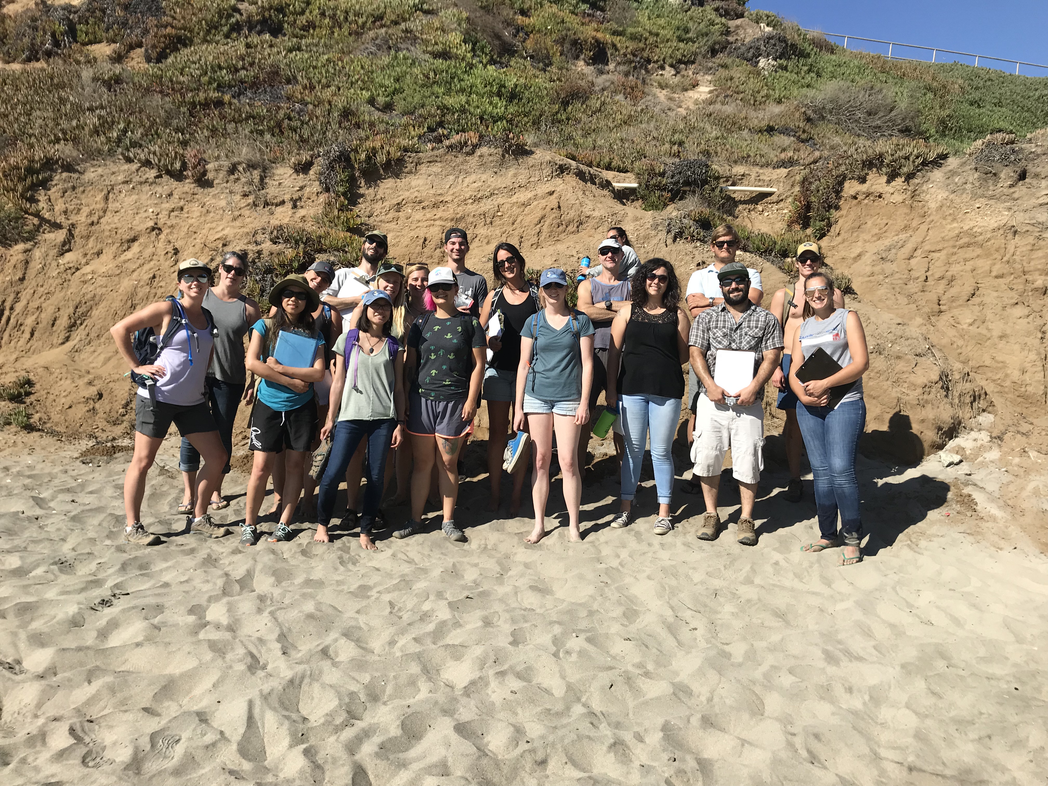
 By Tyler Barnes,