by Emily Donham, Ichthyology Lab
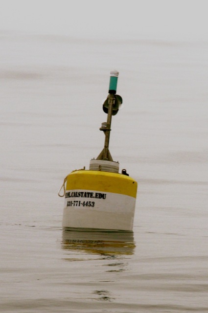
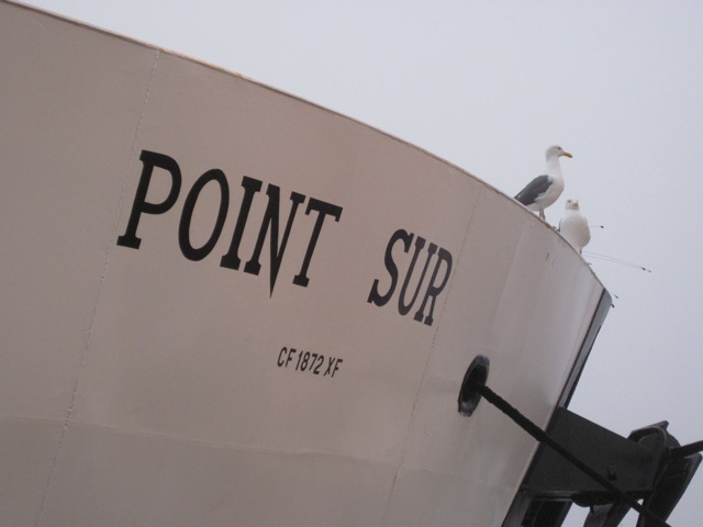
During Physical Oceanography class (MS 142) Professor Dr. Erika McPhee-Shaw invited interested students to participate in a day cruise aboard the Moss Landing Marine Laboratories 135’ research vessel (R/V) Point Sur. The cruise was part of a collaborative research project between scientists at the Naval Post Graduate School (NPS), the Monterey Bay Aquarium Research Institute (MBARI) and the physical oceanography lab at Moss Landing Marine Laboratories (MLML) (Dr. McPhee-Shaw is the lead PI). The mission included the deployment of oceanographic instrument moorings and the collection of conductivity, temperature, and depth (CTD) measurements at stations along an isobath, or line of constant depth, in Monterey Bay.
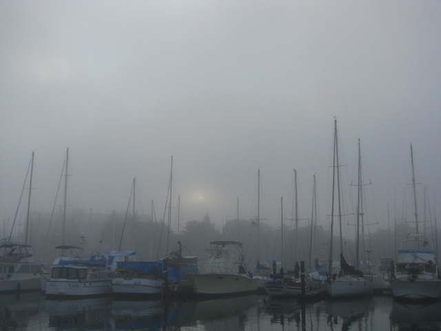
I arrived at the ship at 0700 in order to make it aboard for the safety briefing before setting sail. The morning was foggy which delayed our departure by a half hour. At our first stop NPS researchers deployed an instrument mooring fitted with an acoustic doppler current profiler (ADCP) which will take continuous water velocity measurements throughout the water column. These water velocity measurements will help the scientists understand how water is flowing in the bay.
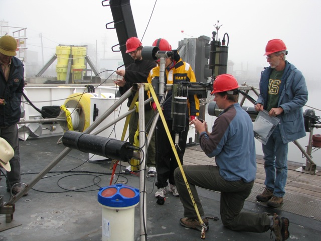
Next we moved further offshore to deploy Erika’s instruments.
The first instrument was attached to a profiling mooring. The profiling mooring uses wave energy at the surface to move the instrument platform up and down a mooring wire. The instrument is therefore able to move from the seafloor to the surface taking a profile of the water column along its way. The interval at which the platform makes one complete profile is dependent on the action of the surface waves and requires no additional energy from the instrument platform. This technology enables researchers to obtain water column profiles at a location over extended periods of time without actually needing to be there. The interval at which the profiler will operate can be calculated ahead of time by the researchers just by knowing the usual sea states at the site. This particular instrument platform contained a CTD and will therefore be taking conductivity, temperature, and depth profiles. Given the sea states in the bay these profiles will be taken roughly once every hour for the duration of its deployment.
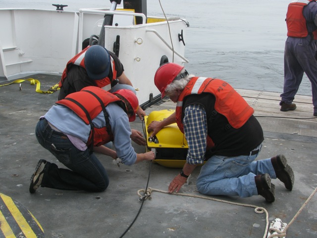
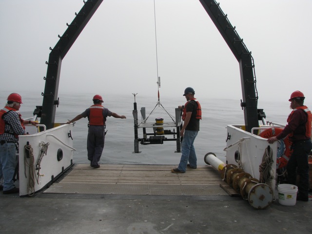
Our last deployment was a benthic frame very similar to the NPS’s except it will sit further offshore and at a deeper depth. Also, besides having just an ADCP, this mooring has thermistors, or temperature sensors, spaced evenly along the mooring line from the seafloor to just below the surface. This instrument package will also record continuous temperature readings throughout the water column for the duration of its time on the seafloor.
Before returning to port my fellow classmate, Ryan Manzer, and I were able to assist the survey tech, Ben Jokinen, with CTD casts. It was really cool to get hands-on experience collecting oceanographic data. We were even able to watch the real-time data come in as the CTD left the surface and descended to the seafloor.
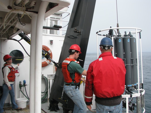
Having the opportunity to participate in a real oceanographic research cruise was really exciting. I had never realized the amount of teamwork and communication involved in oceanographic field work. The ships captain, deck hands, survey staff and scientists really did have to work together to ensure a smooth and safe deployment.
The cruise was a success and now the scientists have to (patiently) sit back and wait for the next month until they return to recover their moorings. Hopefully all of their instruments work properly and most importantly are still on the seafloor where they left them.
