by Jeremiah Brower, Geological Oceanography Lab
One of the reasons I love being a Geological Oceanographer is that you can walk along the beaches of Santa Cruz and travel through thousands of years of history in a few short miles. Much of the coastline here is actually made up of shallow marine plankton deposits that have been crushed over the years into a fine silt and sandstone layer that is greater then 150 m thick.
Basically, the coastline of Santa Cruz was once underwater and has been slowly rising through a tectonic process called “uplift” for the better part of the last two hundred thousand years. Because of uplift, these previously submerged sediment deposits of the continental shelf are now exposed above the ocean, and natural erosion has cut them back to the cliff walls we see today.
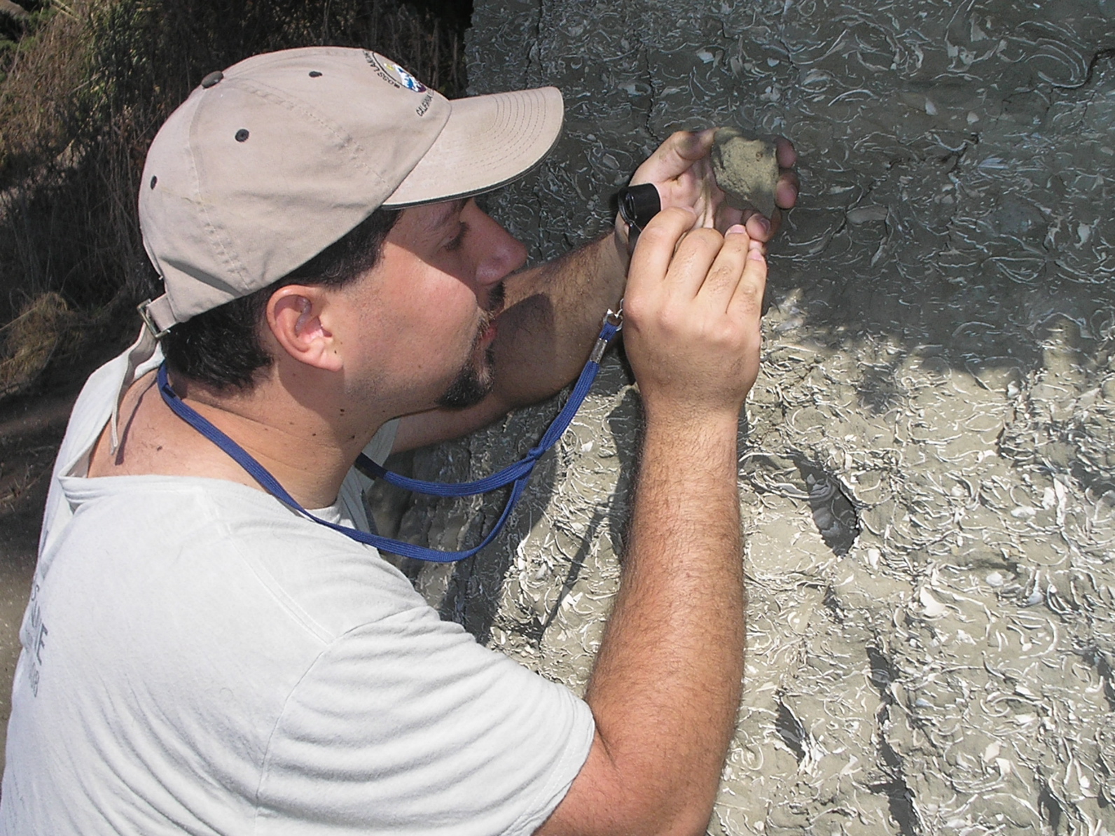
Geologists identify this cliff layer we find on our coastline as the ‘Purisima formation’ and date it to the late Pliocene era (1.6-5.3 million years ago, which is young as rocks go, if you can believe it!). The Purisima formation is structured with thousands of shell fragments from clams and various other plant and animal life forms that used to live on the sea floor. By examining the different layers of the formation you can see when the ocean was more full of life, or when the sea floor was a sort of dessert (just another cool aspect of geologic oceanography).

No matter where you go in the field, you tend to find that the land has been affected by the ocean. The Santa Lucia range of central California is another great example: it was created by the compaction of millions of marine carbonate shells left behind by various planktonic life forms.
So I suggest that the next time you’re hiking in the mountains or hanging out at the beach with a cold mojito, consider the sand and rocks around you. Most of this planet is covered in water, and that water has affected most of the land we stand on – so don’t be surprised if you’re hiking in Montana and find a shark’s tooth at your feet!
Sand man over and out.

