Minhoto Flyover from Charlie Endris on Vimeo.
2015: UAV Mapping of the Minhoto Marsh Restoration Area, Elkhorn Slough, CA
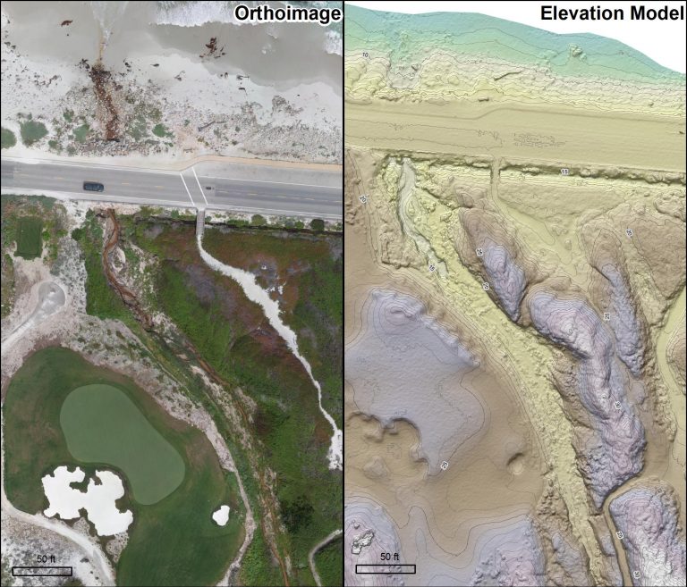
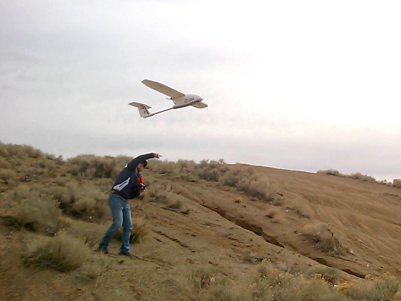
The Center for Habitat Studies collected high resolution (3 cm) UAV data (imagery and digital elevation models) for approximately 100 acres in Elkhorn Slough(?) through a collaboration with the Elkhorn Slough National Estuarine Research Reserve and the California Department of Fish and Wildlife,. The data are currently being used for pre-construction planning, permitting, and habitat modeling. Repeat UAV surveys will be performed after construction to assess target elevations and for monitoring colonization of marsh and upland vegetation.


2015-2016: Eelgrass Transplanting in Elkhorn Slough, CA
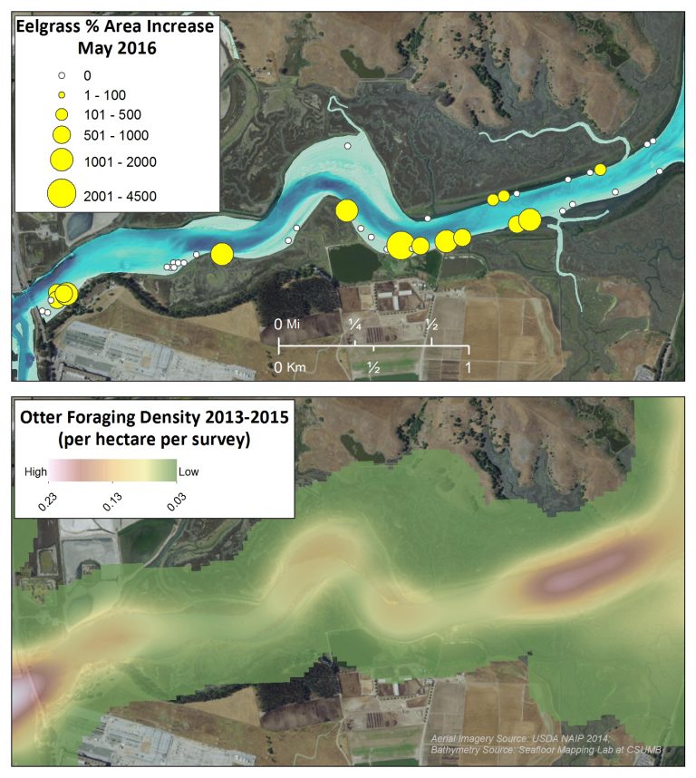
The Center for Habitat Studies has been actively involved in assessing eelgrass transplant success in Elkhorn Slough, CA in collaboration with California Sea Grant and the University of California, Santa Cruz (Long Marine Lab).
Bathymetric analyses, coupled with aerial imagery and mapped eelgrass beds, are being used in GIS to design field experiments and identify transplant locations. SCUBA combined with high precision GPS techniques are used to relocate experimental plots and monitor eelgrass health at multiple intervals over the course of two years.


