By Gabriela Navas, Invertebrate Zoology Lab
Who would have thought an extinct volcano can be so very multifaceted and interesting? Not me.
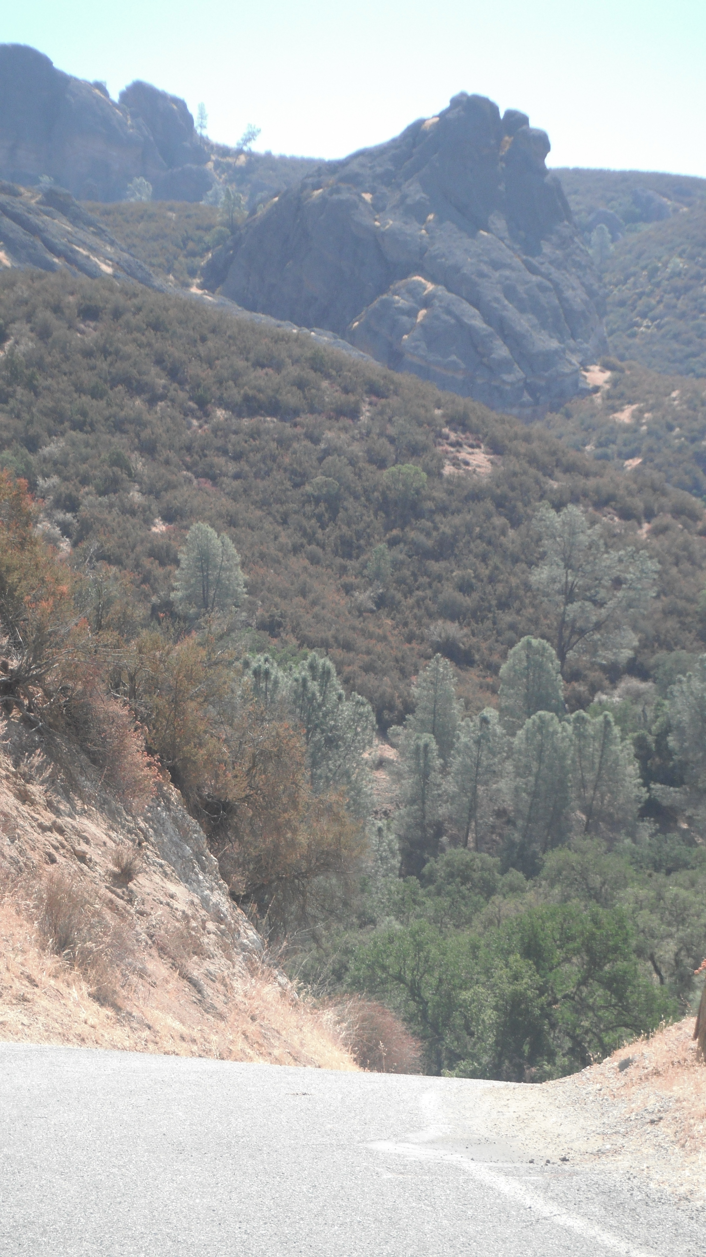
Our Geological Oceanography Class at MLML went to the Pinnacles National Monument the other day, driving up this windy road off of Soledad, California, we see this:
Our professor Ivano Aiello asks the question I very much dread, especially when I have absolutely NO CLUE what the answer could be:
” How do you think these peaks formed that you see in the distance?”
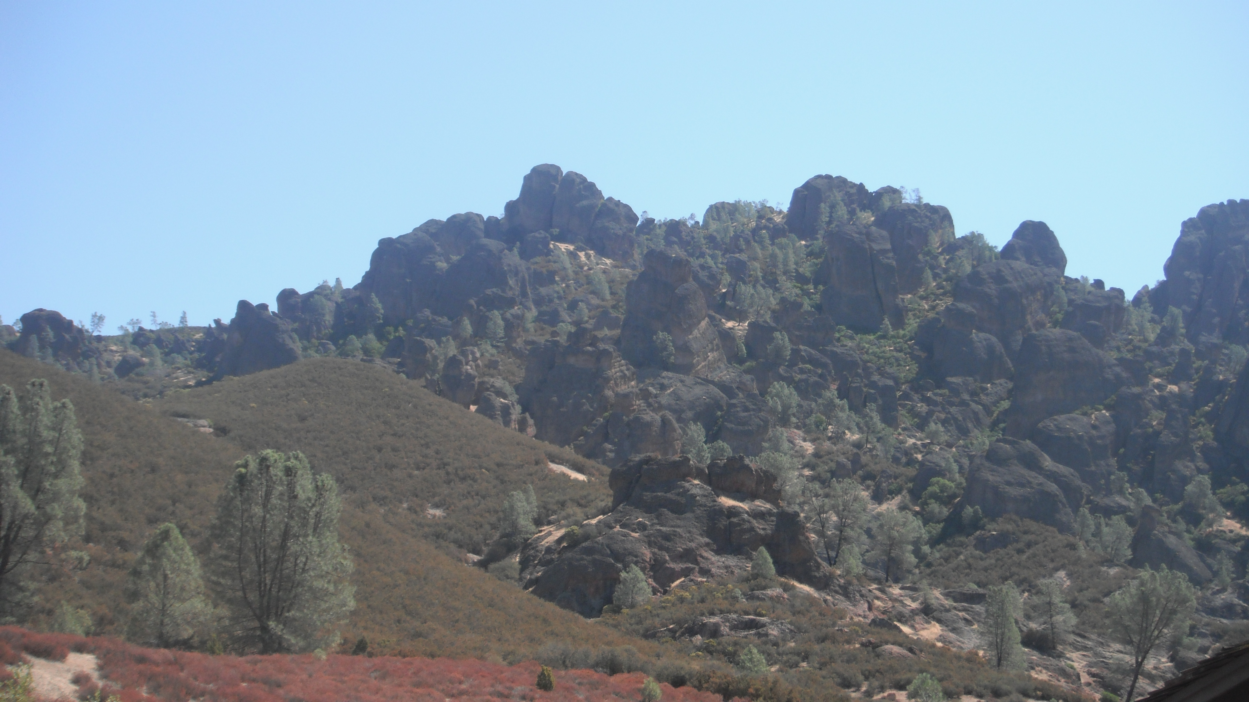
Well, let’s get a bit closer… shall we?
What you see here is actually part of the tube that used to lead into the Magma chamber. The volcano is extinct…no more Magma here, but how did it form?
The usual suspects – a fault line, some major earthquake action, you know the Spiel, Bam volcano. Now, the amazing part is that half of the volcano is actually in Southern California as part of the Neenach Volcanics complex, the other up here in Central California. Due to the position of Pinnacles on a fault line it has been transported all the way up north over the period of 30 million years.
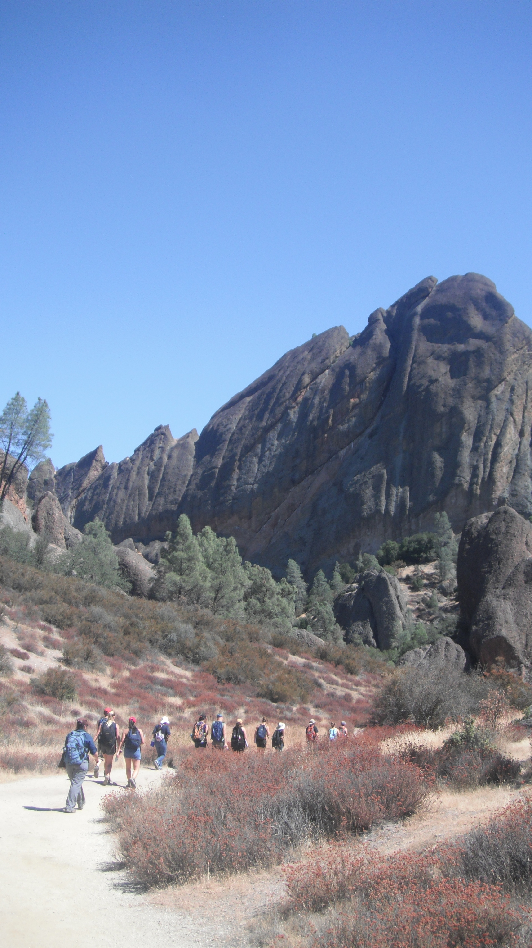
Pinnacles features great hiking opportunities, and if you bring a Geologist friend, an amazingly educational hike at that.
Here you see the original side of the volcano. Smoother than the first formations I showed you:
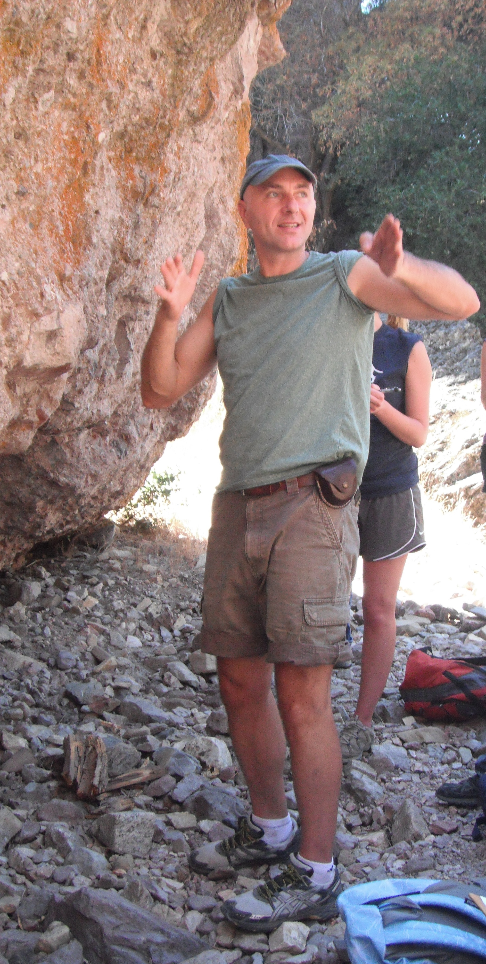
Here’s Ivano explaining one rock formation type at Pinnacles: The Volcanic Breccia, composed of lava flow cementing multiple types of intrusive rocks that originated from the volcano when it was still active.
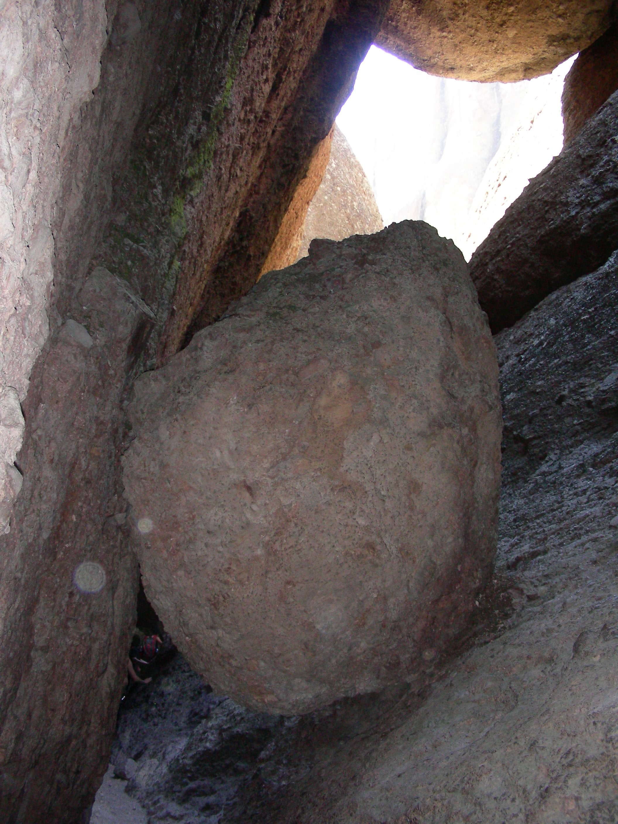
Make sure to bring plenty of water on your hike. The heat can be quite overwhelming. We found huge relief from the heat in caves that were definitely not caves as you may have experienced before. These caves were formed by piled-up boulders that went through some major events from earthquakes to subsequent lava flowing over them, cooling, and some more earthquakes, and an occasional landslide as well, oh sure, floods, too.
Bring your flashlight!
This was a treat!


